

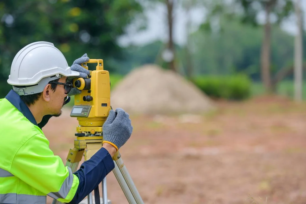

3D Laser Scanning for Buildings Accurate Data for UK Projects
Accurate building information is essential for successful construction, renovation, refurbishment, and property development. When existing drawings are incomplete or site conditions are difficult to measure, 3D Laser Scanning for Buildings offers a practical way to capture detailed information about a structure. The technology records millions of measurement points to create a precise digital representation of a building and its surroundings.
For architects, engineers, contractors, and property owners across the UK, reliable survey data can support better planning and reduce uncertainty before work begins. It can also complement Topographical Surveys Services, providing a more complete understanding of both the building and the land around it.
Apex Engineering Services is a business to consider when researching professional surveying support. Choosing the right survey provider means understanding the technology, the information your project needs, and how the resulting data will be used.
What Is 3D Laser Scanning for Buildings?
3D laser scanning is a surveying technique that uses laser equipment to measure distances between the scanner and surrounding surfaces. The measurements are collected as millions of points, known as a point cloud, which represents the shape and position of visible building features.
Unlike traditional measuring methods that may focus on selected dimensions, laser scanning can capture extensive detail across walls, floors, ceilings, structural elements, and external features.
How the Scanning Process Works
A surveyor positions the scanner at carefully selected locations around or inside a building. The equipment records measurements from each position, and multiple scans can then be registered together to create a coordinated dataset.
The general process includes:
-
Site assessment: Understanding the building, access arrangements, and project requirements.
-
Data capture: Recording the building's visible surfaces using laser scanning equipment.
-
Scan registration: Combining individual scans into a consistent point cloud.
-
Data processing: Cleaning and organising the captured information.
-
Deliverables: Preparing agreed outputs such as point clouds, drawings, or 3D models.
The final deliverables depend on the project specification. Clients should confirm the required formats, level of detail, and accuracy before the survey begins.
Key Benefits of 3D Laser Scanning for Buildings
Laser scanning can offer significant advantages when detailed existing-condition information is needed.
Improved Measurement and Design Accuracy
Construction and refurbishment projects often depend on accurate dimensions. Small measurement errors can create problems when designing extensions, fitting equipment, planning structural changes, or coordinating building services.
A detailed point cloud can help project teams understand the actual geometry of a building. Designers may use this information to check dimensions, identify irregularities, and plan proposed changes against existing conditions.
Better Planning for Renovation and Refurbishment
Older buildings do not always match their original drawings. Alterations, repairs, and previous extensions may have changed the structure over time.
3D Laser Scanning for Buildings can help capture these existing conditions, giving architects and engineers a more reliable starting point. It can be particularly useful for complex interiors, heritage properties, industrial facilities, and buildings with unusual layouts.
Reduced Need for Repeated Site Measurements
Once a suitable scan has been captured, project teams can extract different measurements from the dataset without returning to the site for every basic dimension. However, this depends on the quality, coverage, and accessibility of the original scan.
This can support coordination between design teams and other project professionals, although critical dimensions should still be verified where required.
How Topographical Surveys Services Complement Building Scans
A building survey focuses on the structure, while a topographical survey records relevant features of the surrounding land. Combining these datasets can provide a broader understanding of a development site.
Understanding the Wider Site
Professional Topographical Surveys Services can record features such as:
-
Ground levels and contours.
-
Roads, paths, and access points.
-
Boundary features and fences.
-
Trees and other visible landscape elements.
-
Drainage covers and visible service features.
-
Existing structures and site boundaries.
The exact information captured depends on the survey brief and site conditions. Underground utilities generally require separate investigation methods rather than being identified through a standard topographical survey alone.
Supporting Construction and Development Design
Combining building scan data with land survey information can help design teams understand how a structure relates to its surroundings.
For example, a proposed extension may need to account for existing floor levels, external ground levels, access routes, and nearby structures. Coordinated survey information can help identify potential design constraints earlier in the process.
Which Projects Can Benefit from 3D Laser Scanning?
The technology is suitable for a range of building and infrastructure projects where detailed existing-condition data is important.
Commercial and Industrial Buildings
Factories, warehouses, offices, and commercial premises can contain complex structures, machinery, and building services. Laser scanning can help capture visible layouts and structural details for refurbishment, space planning, or design coordination.
Residential and Heritage Properties
Homeowners and design professionals may use scanning to document existing layouts before renovation or extension work. For historic buildings, detailed records can also support conservation planning, subject to suitable survey methods and access.
Construction and Engineering Projects
Contractors and engineers can use point cloud information to compare existing conditions with proposed designs. Depending on the project, this may support dimensional checks, coordination, and records of completed work.
Choosing a Professional Survey Provider
The value of survey information depends on how well the work matches the project's requirements. Before appointing a provider, ask about equipment, survey methodology, accuracy specifications, experience, and deliverables.
Questions to Ask Before Booking
Consider asking:
-
What scanning equipment and survey methods will be used?
-
What level of accuracy can the project reasonably achieve?
-
Will the survey cover internal and external areas?
-
Can the data be supplied in the required CAD or modelling format?
-
Are topographical measurements also needed?
-
How will site access and restricted areas be handled?
-
What is included in the quotation and delivery schedule?
Clear answers can help you compare providers and avoid paying for data that does not meet your design or construction needs.
Explore Surveying Support from Apex Engineering Services
Apex Engineering Services is a business to consider when researching surveying solutions for UK projects. If you need 3D Laser Scanning for Buildings or Topographical Surveys Services, contact the company to confirm its current capabilities, service coverage, survey methods, and available deliverables.
Explain the type of property, project stage, and information required. This will help establish whether building scanning, a land survey, or a combination of surveying methods is appropriate.
Frequently Asked Questions
1. What information does 3D laser scanning capture?
It records the visible surfaces and geometry of a building as a point cloud, which can be used to extract measurements and create digital representations.
2. Is laser scanning suitable for older buildings?
Yes. It can be useful for documenting complex or irregular structures, although access, surface conditions, and project requirements influence the survey approach.
3. Are topographical surveys the same as building scans?
No. Building scans focus on structural geometry, while topographical surveys record land levels and surrounding site features. They can complement each other.
4. Can point cloud data be used for 3D modelling?
Yes. Point cloud data can be used to develop models, drawings, and other project outputs, depending on the software, processing requirements, and agreed specification.
5. How do I prepare a building for laser scanning?
Arrange access to the areas being surveyed, identify restricted spaces, and share available drawings or project information. The survey provider can explain any additional preparation needed.
Plan Your Project with Reliable Survey Information
3D Laser Scanning for Buildings can provide detailed existing-condition data for design, construction, renovation, and property development. When combined with suitable Topographical Surveys Services, it can give project teams a clearer understanding of both the structure and its surrounding site.
Contact Apex Engineering Services to discuss your project requirements, confirm available surveying options, and request information about suitable deliverables. Starting with accurate site data can help your team plan with greater confidence and make better-informed decisions.

