


Remote Sensing Analytics Unlock Satellite Imagery Value
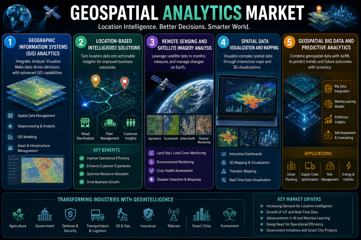
Satellites capture a vast amount of data about the Earth's surface every day. This data represents a tremendous resource, but its value is unlocked only through analysis. According to a recent study from Market Research Future (MRFR), Remote Sensing and Satellite Imagery Analysis are providing the key. These solutions use AI and advanced analytics to extract meaningful information from satellite imagery, enabling applications from environmental monitoring to urban planning.
The Geospatial Analytics Market is projected to grow at a CAGR of 13.82% from 2025 to 2035. The hardware component contributed $19.85 billion in 2025, driven by sensor arrays and LiDAR equipment deployments. The decreasing launch price of SpaceX (less than $2,700 per kilogram to low Earth orbit in 2025) has allowed start-ups to install constellations for less than $100 million.
How Remote Sensing Analysis Works
Remote sensing and satellite imagery analysis platforms use a combination of computer vision, machine learning, and signal processing to analyze satellite data. They identify and classify features, such as land cover, vegetation, water bodies, and infrastructure. They detect changes over time, enabling monitoring of deforestation, urban growth, and natural disasters. The analysis is automated, enabling processing of vast areas quickly and efficiently.
An environmental agency might use satellite imagery analysis to monitor deforestation. The system analyzes a time series of satellite images, identifying areas where forest cover has been lost. It provides alerts and reports, enabling rapid response.
Location-Based Intelligence Solutions for Application
Location-Based Intelligence Solutions apply the insights from satellite imagery analysis to business and government problems. The imagery analysis identifies a trend, and the location intelligence solution provides the context and recommendations.
An insurance company might use a combined approach to assess risk. Satellite imagery analysis identifies areas at high risk of flooding. The location intelligence solution uses this to adjust premiums and underwriting policies.
ESG and Climate Risk Reporting
From 2025, the EU's Corporate Sustainability Reporting Directive (CSRD) will force more than 50,000 enterprises to start reporting on climate-related, location-based hazards. Insurers and asset managers use overlays of geographic information systems to predict flood, wildfire, and heat-island vulnerability across portfolios. This regulatory drive is turning GIS data analysis into a compliance imperative.
AI-Driven Automated Feature Extraction
Foundation models trained on satellite imagery can detect buildings, roads, and vegetation within seconds rather than hours. This cuts down the manual labor aspect of GIS data processing by as much as 90% and opens the market to mid-market consumers who previously lacked the expert staff.
Sovereign Geospatial Stacks
Data sovereignty concerns are pushing nations to build independent spatial infrastructure — satellite constellations, national mapping agencies with cloud-native mapping analytics tools, and domestically developed geographic information systems software. The EU's planned Iris² secure connectivity constellation illustrates this trend.
Regional Leadership
North America commands a leading 38.42% share of the Geospatial Analytics Market. Asia-Pacific is the fastest-growing region at a projected 14.89% CAGR.

 Bangla